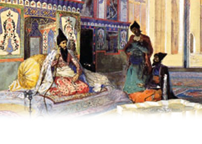
Western Azerbaijan
Teishebaini Fortress
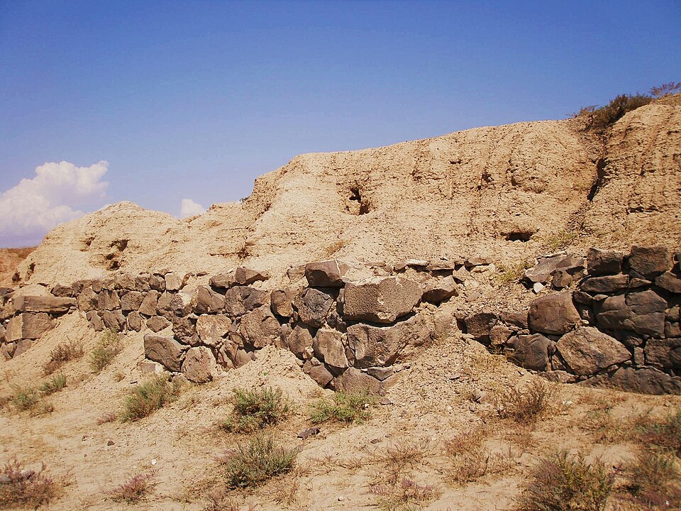
The Teishebaini Fortress, constructed about a century after the fall of the Erebuni military stronghold during the reign of Rusa, son of Argishti II (685–645 BCE), also has no connection to the present-day city of Iravan. The fortress was named in honor of the Urartian god of war, Teisheba. It was discovered on the left bank of the Zangi River, near the Iravan–Echmiadzin highway, in the area known today by Armenians as Karmir Blur (“Red Hill”). The fortress fell in the 6th century BCE as a result of a Scythian invasion. Armenian historian Tadevos Hakobyan writes that in the fortress-city of Teishebaini, which was founded in the land of Aza and in the territory inhabited by the Aza tribe, a certain number of Scythians (i.e., Proto-Turks) lived prior to the fall of the city.
In 1936, a fragment of stone bearing a cuneiform inscription was discovered at the summit of Red Hill (Qırmızı Təpə). The inscription contained the name of Rusa II, son of the Urartian king Argishti II. Until that time, the hill had been used by local villagers from surrounding settlements as a stone quarry.
In 1958, during archaeological excavations led by academician Boris Piotrovsky, it was revealed that the fortress was naturally protected on the north and east by the steep slopes of the hill and the Zangi River, and fortified on the south and west by strong walls approximately 8 meters high. The southern part of the fortress was surrounded along its entire perimeter by stone walls, enclosing vineyards that were irrigated by a canal drawn from the Zangi River.
The total length of the fortress-city’s walls measured 700 meters, and the site covered an area of 15 hectares.